Stream Bank Erosion Site RIF_WB95
Total Severity: Undefined
Information collected by:
Rifle River Watershed,
Rifle River West Branch
Churchill Twp,
Ogemaw County
GPS Coordinates: 44.25085
, -84.07617
T22N
R3E
Sec 33
Owned by Private
Site Access:Accessible by road
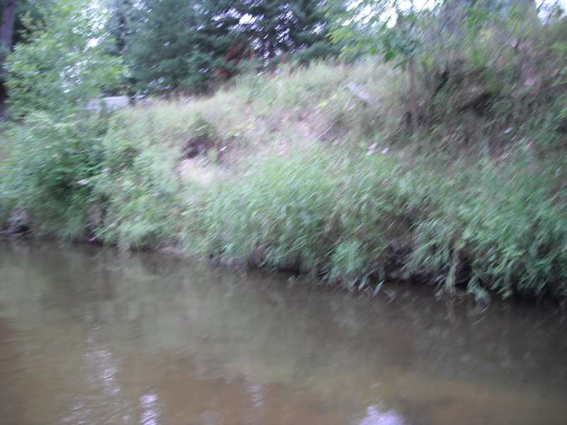
Bank Details
Which Bank? Left
Bank Aspect:N
Bank Conditions
Cause(s) of Erosion
Recommended Treatment(s)
Other Treatments:Good vegetation, almost 100, not a priority-no treatment recommended
General Information
�