Stream Bank Erosion Site RIF_049A
Total Severity: Severe
Total Points: 36
Information collected by:
Rifle River Watershed,
Rifle River Main Branch
Mills Twp,
Ogemaw County
GPS Coordinates: 44.232582
, -84.067175
T21N
R3E
Sec 9
Owned by Private
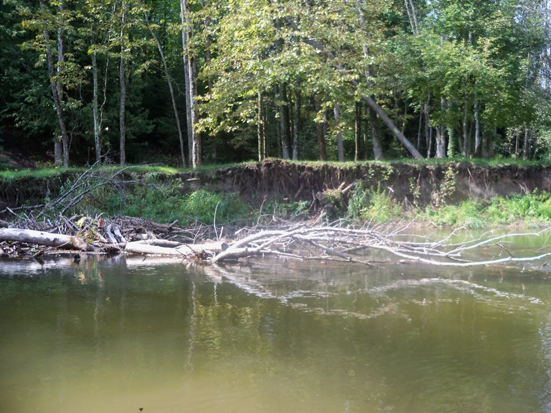
Bank Details
Which Bank? Left
Bank Aspect:NE
Condition:Toe and upper bank are eroding
Erosion Trend:Increasing
Percent Veg. Cover: 0-10%
Bank Conditions
Stream Width:35 ft.
Stream Depth:35 ft.
Stream Current:Slow
Eroded Bank Length:50 ft.
Eroded Bank Height:6 ft.
Slope of Eroded Bank:1:01
Texture: Sand
Cause(s) of Erosion
Recommended Treatment(s)
General Information
Total Points
36
�