Stream Bank Erosion Site BTS-004
Total Severity: Minor
Total Points: 26
Information collected by:
Betsie River Watershed,
Betsie River
Colfax Twp,
Benzie County
GPS Coordinates: 44.57274
, -85.88862
T25N
R13W
Sec 9
Owned by Private
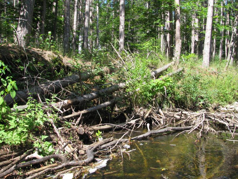
Bank Details
Which Bank? Right
Bank Aspect:E
Condition:Both toe and upper bank eroding
Erosion Trend:Stable
Percent Veg. Cover: 51-100%
Bank Conditions
Stream Width:25 ft.
Stream Depth:4 ft.
Stream Current:Fast
Eroded Bank Length:30 ft.
Eroded Bank Height:3 ft.
Slope of Eroded Bank:1:1
Texture: Sand
Cause(s) of Erosion
-Bend in river
Recommended Treatment(s)
-Rock riprap
-Tree revetments
General Information
Upstream fieldstone at toe.Red Pine upland.
Total Points
26
�