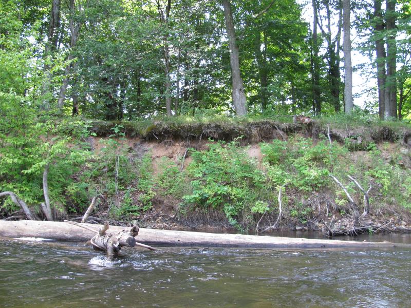
Stream Bank Erosion Site BTS-024
Total Severity: Severe
Total Points: 34
Information collected by:
Betsie River Watershed,
Betsie River
Weldon Twp,
Benzie County
GPS Coordinates: 44.53319
, -85.94685
T25N
R14W
Sec 25
Owned by Private
Bank Details
Which Bank? Left
Bank Aspect:N
Condition:Both toe and upper bank eroding
Erosion Trend:Increasing
Percent Veg. Cover: 11-50%
Bank Conditions
Stream Width:25 ft.
Stream Depth:1 ft.
Stream Current:Fast
Eroded Bank Length:100 ft.
Eroded Bank Height:8 ft.
Slope of Eroded Bank:1:1
Texture: Sand
Clay
Clay
Cause(s) of Erosion
-Bend in river
Recommended Treatment(s)
-Bank revegetation
General Information
Total Points
34
�