Stream Bank Erosion Site BTS-029
Total Severity: Moderate
Total Points: 30
Information collected by:
Betsie River Watershed,
Betsie River
Weldon Twp,
Benzie County
GPS Coordinates: 44.52461
, -85.95686
T25N
R14W
Sec 36
Owned by State
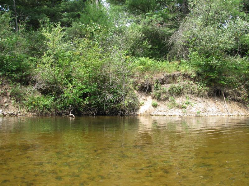
Bank Details
Which Bank? Left
Bank Aspect:SE
Condition:Both toe and upper bank eroding
Erosion Trend:Increasing
Percent Veg. Cover: 0-10%
Bank Conditions
Stream Width:30 ft.
Stream Depth:2 ft.
Stream Current:Fast
Eroded Bank Length:20 ft.
Eroded Bank Height:4 ft.
Slope of Eroded Bank:1:1
Texture: Sand
Gravel
Gravel
Cause(s) of Erosion
-Bend in river
Recommended Treatment(s)
-Tree revetments
General Information
Total Points
30
�