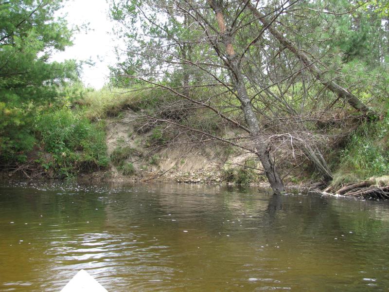
Stream Bank Erosion Site BTS-034
Total Severity: Moderate
Total Points: 31
Information collected by:
Betsie River Watershed,
Betsie River
Weldon Twp,
Benzie County
GPS Coordinates: 44.51341
, -85.95952
T25N
R14W
Sec 35
Owned by Private
Site Access:Accessible by Road (.1 miles)
Bank Details
Which Bank? Left
Bank Aspect:N
Condition:Both toe and upper bank eroding
Erosion Trend:Increasing
Percent Veg. Cover: 11-50%
Bank Conditions
Stream Width:30 ft.
Stream Depth:4 ft.
Stream Current:Slow
Eroded Bank Length:40 ft.
Eroded Bank Height:8 ft.
Slope of Eroded Bank:1:1
Texture: Sand
Cause(s) of Erosion
-Bend in river
Other causes: Eddy.
Recommended Treatment(s)
-Tree revetments
General Information
Total Points
31
�