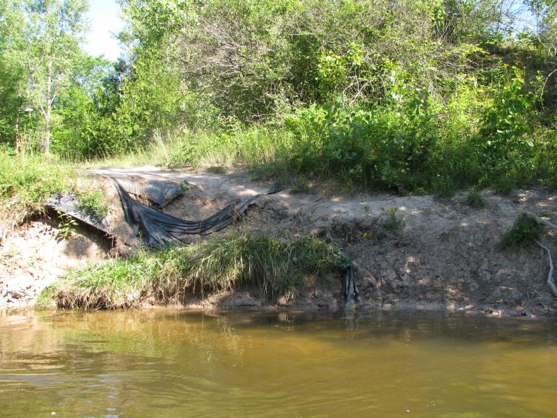
Stream Bank Erosion Site BTS-043
Total Severity: Severe
Total Points: 32
Information collected by:
Betsie River Watershed,
Betsie River
Springdale Twp,
Manistee County
GPS Coordinates: 44.50161
, -85.98014
T24N
R14W
Sec 3
Owned by State
Site Access:Accessible by Road (0 miles)
Bank Details
Which Bank? Right
Bank Aspect:S
Condition:Both toe and upper bank eroding
Erosion Trend:Increasing
Percent Veg. Cover: 0-10%
Bank Conditions
Stream Width:40 ft.
Stream Depth:3 ft.
Stream Current:Slow
Eroded Bank Length:100 ft.
Eroded Bank Height:5 ft.
Slope of Eroded Bank:1:1
Texture: Clay
Cause(s) of Erosion
-Foot traffic
Other causes: Kurick access site.
Recommended Treatment(s)
-Constructed access
General Information
Kurick road access site, recreational traffic.
Total Points
32
�