Stream Bank Erosion Site BTS-047
Total Severity: Moderate
Total Points: 28
Information collected by:
Betsie River Watershed,
Betsie River
Springdale Twp,
Manistee County
GPS Coordinates: 44.49646
, -85.98685
T24N
R14W
Sec 10
Owned by Private
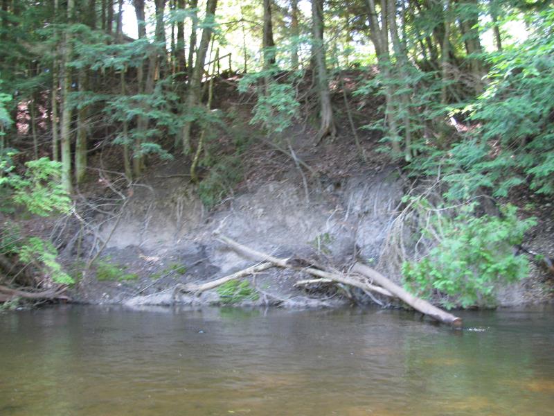
Bank Details
Which Bank? Left
Bank Aspect:N
Condition:Toe is stable; upper bank eroding
Erosion Trend:Increasing
Percent Veg. Cover: 0-10%
Bank Conditions
Stream Width:20 ft.
Stream Depth:2 ft.
Stream Current:Fast
Eroded Bank Length:20 ft.
Eroded Bank Height:7 ft.
Slope of Eroded Bank:1:1
Texture: Sand
Clay
Clay
Cause(s) of Erosion
-Bend in river
Other causes: Tree slump.
Recommended Treatment(s)
-Tree revetments
General Information
Total Points
28
�