Stream Bank Erosion Site BTS-062
Total Severity: Moderate
Total Points: 24
Information collected by:
Betsie River Watershed,
Betsie River
Weldon Twp,
Benzie County
GPS Coordinates: 44.51624
, -86.04268
T25N
R14W
Sec 31
Owned by Private
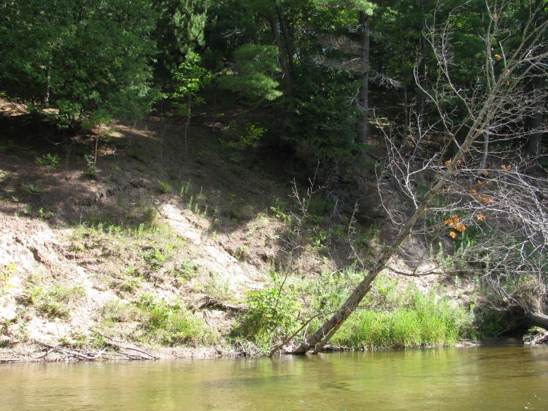
Bank Details
Which Bank? Right
Bank Aspect:S
Condition:Toe is stable; upper bank eroding
Erosion Trend:Stable
Percent Veg. Cover: 11-50%
Bank Conditions
Stream Width:40 ft.
Stream Depth:2 ft.
Stream Current:Fast
Eroded Bank Length:150 ft.
Eroded Bank Height:30 ft.
Slope of Eroded Bank:2:1
Texture: Sand
Cause(s) of Erosion
-Bend in river
Recommended Treatment(s)
-Bank revegetation
General Information
Previously stabilized at toe with rock.
Total Points
24
�