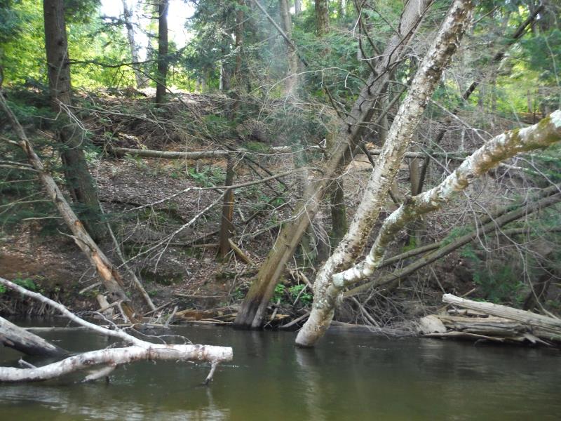
Stream Bank Erosion Site BTS-069
Total Severity: Moderate
Total Points: 29
Information collected by:
Betsie River Watershed,
Betsie River
Weldon Twp,
Benzie County
GPS Coordinates: 44.55059
, -86.05628
T25N
R14W
Sec 19
Owned by State
Bank Details
Which Bank? Left
Bank Aspect:NE
Condition:Toe is stable; upper bank eroding
Erosion Trend:Stable
Percent Veg. Cover: 51-100%
Bank Conditions
Stream Width:35 ft.
Stream Depth:2 ft.
Stream Current:Fast
Eroded Bank Length:80 ft.
Eroded Bank Height:30 ft.
Slope of Eroded Bank:1:1
Texture: Clay
Cause(s) of Erosion
-Bend in river
Other causes: Trees slumping.
Recommended Treatment(s)
-Bank revegetation
-Rock riprap
General Information
Total Points
29
�