Stream Bank Erosion Site BTS-082
Total Severity: Minor
Total Points: 27
Information collected by:
Betsie River Watershed,
Betsie River
Benzonia Twp,
Benzie County
GPS Coordinates: 44.59983
, -86.09653
T25N
R15W
Sec 2
Owned by Private
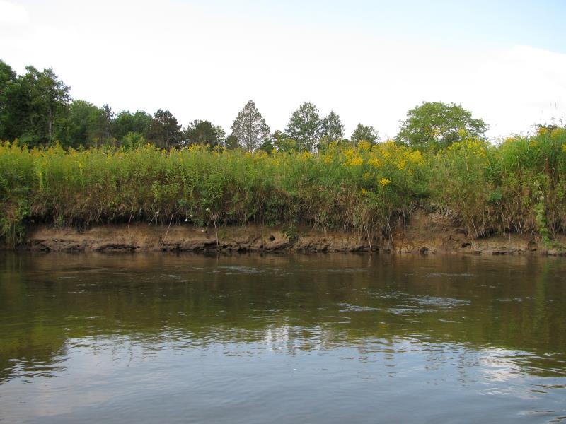
Bank Details
Which Bank? Left
Bank Aspect:E
Condition:Toe is undercutting
Erosion Trend:Stable
Percent Veg. Cover: 0-10%
Bank Conditions
Stream Width:30 ft.
Stream Depth:2 ft.
Stream Current:Fast
Eroded Bank Length:100 ft.
Eroded Bank Height:3 ft.
Slope of Eroded Bank:1:1
Texture: Clay
Cause(s) of Erosion
-Bend in river
Recommended Treatment(s)
-Tree revetments
General Information
Island in Stream.
Total Points
27
�