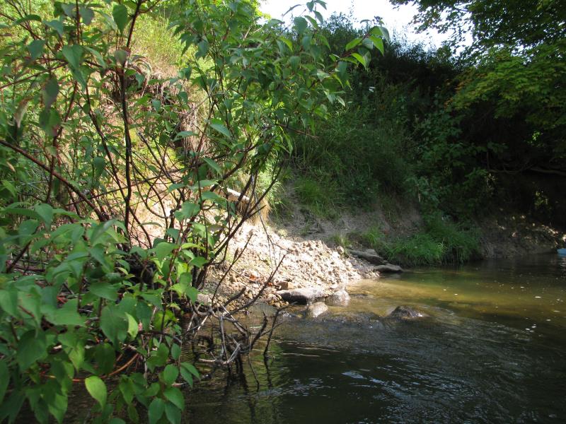
Stream Bank Erosion Site BTS-083
Total Severity: Moderate
Total Points: 24
Information collected by:
Betsie River Watershed,
Betsie River
Benzonia Twp,
Benzie County
GPS Coordinates: 44.60077
, -86.09856
T25N
R15W
Sec 2
Owned by State
Bank Details
Which Bank? Right
Bank Aspect:S
Condition:Toe is eroding
Erosion Trend:Stable
Percent Veg. Cover: 50-100%
Bank Conditions
Stream Width:40 ft.
Stream Depth:3 ft.
Stream Current:Slow
Eroded Bank Length:70 ft.
Eroded Bank Height:12 ft.
Slope of Eroded Bank:2:1
Texture: Gravel
Cause(s) of Erosion
-Bend in river
-Foot traffic
Recommended Treatment(s)
-Tree revetments
Other Treatments:Possibly fencing due to highway proximity.
General Information
Directly up-stream from US-31 bridge.Fieldstone directly down-stream.
Total Points
24
�