Stream Bank Erosion Site BTS-074
Total Severity: Moderate
Total Points: 26
Information collected by:
Betsie River Watershed,
Betsie River
Weldon Twp,
Benzie County
GPS Coordinates: 44.56921
, -86.05003
T25N
R14W
Sec 18
Owned by State
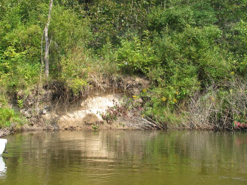
Bank Details
Which Bank? Right
Bank Aspect:S
Condition:Toe is undercutting
Erosion Trend:Increasing
Percent Veg. Cover: 10-50%
Bank Conditions
Stream Width:40 ft.
Stream Depth:3 ft.
Stream Current:Fast
Eroded Bank Length:15 ft.
Eroded Bank Height:7 ft.
Slope of Eroded Bank:2:1
Texture: Sand
Cause(s) of Erosion
-Bend in river
Recommended Treatment(s)
-Bank revegetation
-Tree revetments
General Information
Total Points
26
�