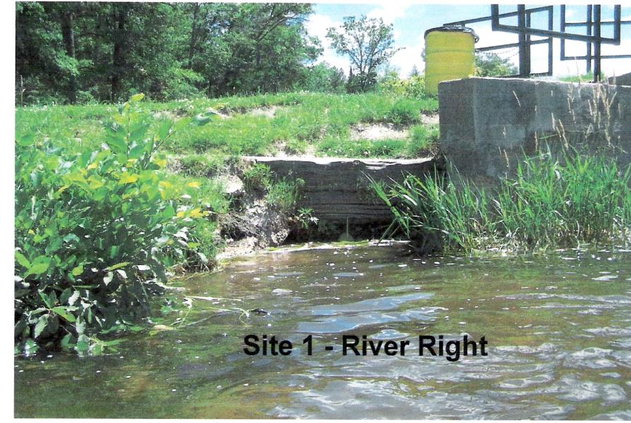
Stream Bank Erosion Site AUS-SB01
Total Severity: Minor
Total Points: 14
Information collected by:
Au Sable River Watershed,
South Branch Au Sable River
Richfield Twp,
Roscommon County
GPS Coordinates: 44.40333
, -84.46306
T23N
R1W
Sec 8
Owned by Private
Site Access:100 yd
Bank Details
Which Bank? Left
Bank Aspect:Sides of control device
Condition:Toe is undercutting
Erosion Trend:Stable
Percent Veg. Cover: 51-100%
Bank Conditions
Stream Width:60 ft.
Stream Depth:3 ft.
Stream Current:Slow
Eroded Bank Length:30 ft.
Eroded Bank Height:5 ft.
Slope of Eroded Bank:2:1
Texture: Stratified
Cause(s) of Erosion
-Foot traffic
Recommended Treatment(s)
-Rock riprap
-Constructed access
General Information
Total Points
14
�