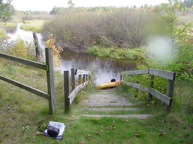
Stream Bank Erosion Site AUS-SB14
Total Severity: Minor
Total Points: 27
Information collected by:
Au Sable River Watershed,
South Branch Au Sable River
Higgins Twp,
Roscommon County
GPS Coordinates: 44.49426
, -84.50625
T24N
R2W
Sec 12
Owned by State
Site Access:20 ft
Bank Details
Which Bank? Right
Condition:Both toe and upper bank eroding
Erosion Trend:Increasing
Percent Veg. Cover: 51-100%
Bank Conditions
Stream Width:15 ft.
Stream Depth:3 ft.
Stream Current:Slow
Eroded Bank Length:15 ft.
Eroded Bank Height:6 ft.
Slope of Eroded Bank:3:1
Texture: Sand
Cause(s) of Erosion
-Foot traffic
Other causes: River access point - bank under timber steps is eroding
Recommended Treatment(s)
-Rock riprap
General Information
Total Points
27
�