Stream Bank Erosion Site AUS-SB17
Total Severity: Minor
Total Points: 27
Information collected by:
Au Sable River Watershed,
South Branch Au Sable River
Higgins Twp,
Roscommon County
GPS Coordinates: 44.49361
, -84.51278
T24N
R2W
Sec 11
Owned by Private
Site Access:50 ft
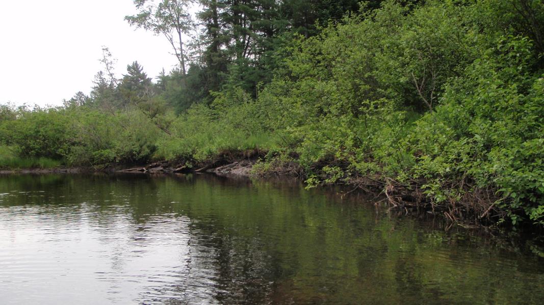
Bank Details
Which Bank? Right
Condition:Toe is stable; upper bank eroding
Erosion Trend:Increasing
Percent Veg. Cover: 0-10%
Bank Conditions
Stream Width:30 ft.
Stream Depth:2 ft.
Stream Current:Slow
Eroded Bank Length:100 ft.
Eroded Bank Height:2 ft.
Slope of Eroded Bank:2:1
Texture: Sand
Cause(s) of Erosion
-Bend in river
-Bank seepage
Recommended Treatment(s)
General Information
Total Points
27
�