Stream Bank Erosion Site AUS-SB25
Total Severity: Minor
Total Points: 25
Information collected by:
Au Sable River Watershed,
South Branch Au Sable River
Higgins Twp,
Roscommon County
GPS Coordinates: 44.4951
, -84.54686
T24N
R2W
Sec 10
Owned by Private
Site Access:200
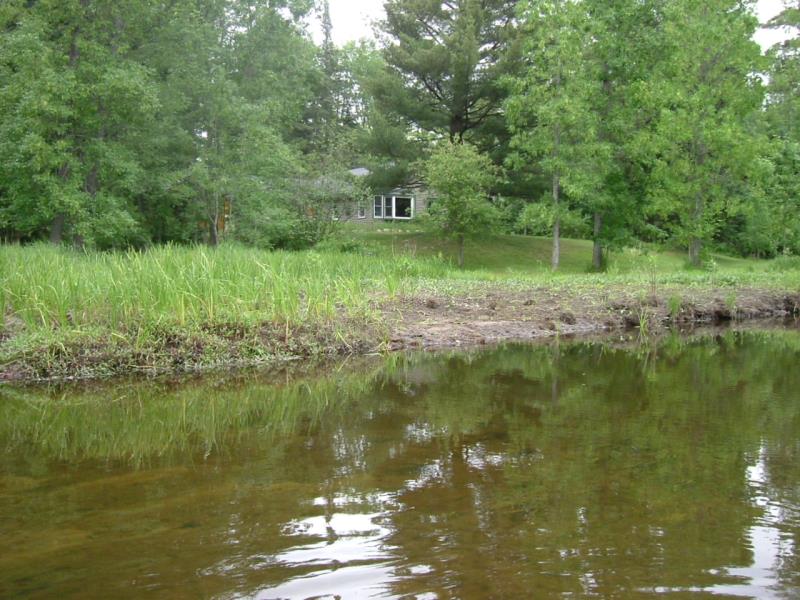
Bank Details
Which Bank? Right
Condition:Toe is stable; upper bank eroding
Erosion Trend:Increasing
Percent Veg. Cover: 11-50%
Bank Conditions
Stream Width:50 ft.
Stream Depth:1 ft.
Stream Current:Slow
Eroded Bank Length:100 ft.
Eroded Bank Height:1 ft.
Slope of Eroded Bank:1:1
Texture: Sand Over Clay"
Cause(s) of Erosion
Other causes: Removal of woody vegetation
Recommended Treatment(s)
General Information
Total Points
25
�