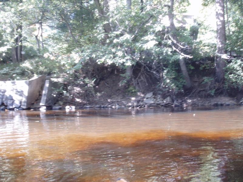
Stream Bank Erosion Site AUS-SB26
Total Severity: Minor
Total Points: 28
Information collected by:
Au Sable River Watershed,
South Branch Au Sable River
Higgins Twp,
Roscommon County
GPS Coordinates: 44.50183
, -84.59091
T24N
R2W
Sec 5
Owned by Private
Site Access:200
Bank Details
Which Bank? Left
Condition:Toe is stable; upper bank eroding
Erosion Trend:Increasing
Percent Veg. Cover: 0-10%
Bank Conditions
Stream Width:50 ft.
Stream Depth:1 ft.
Stream Current:Slow
Eroded Bank Length:80 ft.
Eroded Bank Height:10 ft.
Slope of Eroded Bank:2:1
Texture: Stratified
Cause(s) of Erosion
-Bend in river
Other causes: No ground vegetation - exposed tree roots
Recommended Treatment(s)
-Bank revegetation
-Tree revetments
General Information
Total Points
28
�