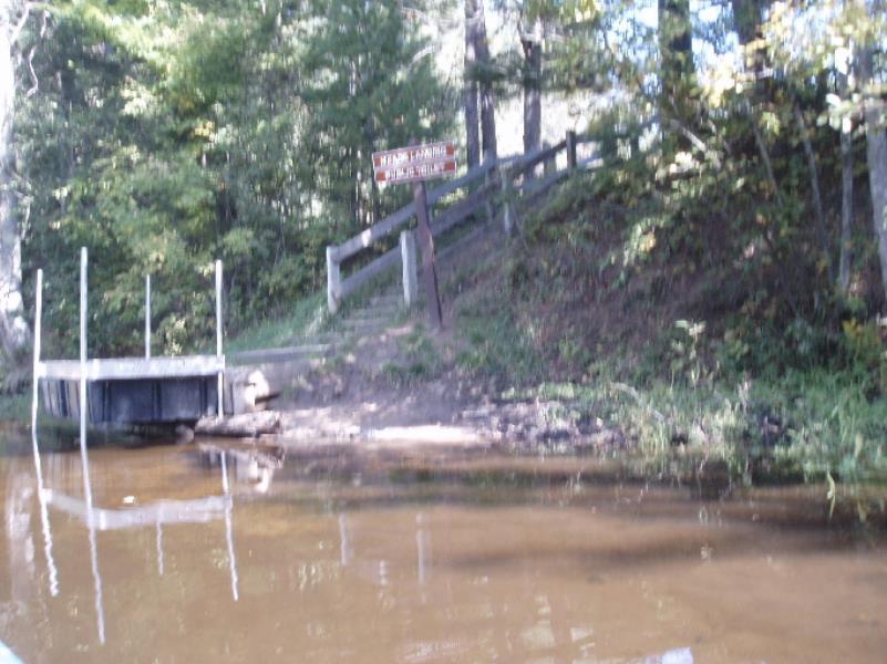
Stream Bank Erosion Site AUS-SB30
Total Severity: Moderate
Total Points: 32
Information collected by:
Au Sable River Watershed,
South Branch Au Sable River
South Branch Twp,
Crawford County
GPS Coordinates: 44.51491
, -84.59245
T25N
R2W
Sec 31
Owned by State
Bank Details
Which Bank? Right
Condition:Toe is stable; upper bank eroding
Erosion Trend:Increasing
Percent Veg. Cover: 11-50%
Bank Conditions
Stream Width:50 ft.
Stream Depth:2 ft.
Stream Current:Slow
Eroded Bank Length:30 ft.
Eroded Bank Height:20 ft.
Slope of Eroded Bank:1:1
Texture: Stratified
Cause(s) of Erosion
-Foot traffic
Recommended Treatment(s)
General Information
Total Points
32
�