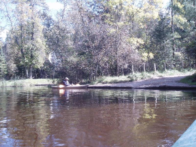
Stream Bank Erosion Site AUS-SB33
Total Severity: Severe
Total Points: 31
Information collected by:
Au Sable River Watershed,
South Branch Au Sable River
South Branch Twp,
Crawford County
GPS Coordinates: 44.53916
, -84.57075
T25N
R2W
Sec 28,
Owned by County
Site Access:20
Bank Details
Which Bank? Right
Condition:Both toe and upper bank eroding
Erosion Trend:Increasing
Percent Veg. Cover: 0-10%
Bank Conditions
Stream Width:60 ft.
Stream Depth:1 ft.
Stream Current:Slow
Eroded Bank Length:30 ft.
Eroded Bank Height:4 ft.
Slope of Eroded Bank:4:1 or flatter
Texture: Stratified
Cause(s) of Erosion
Other causes: Car Traffic - lack of gravel berm
Recommended Treatment(s)
General Information
BMPs Completed:
Fencing
Total Points
31
�