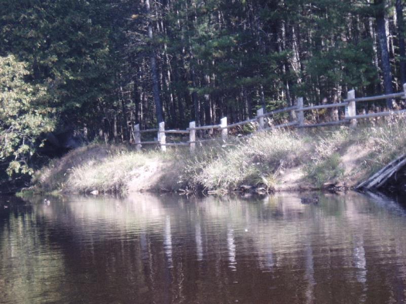
Stream Bank Erosion Site AUS-SB34
Total Severity: Minor
Total Points: 28
Information collected by:
Au Sable River Watershed,
South Branch Au Sable River
South Branch Twp,
Crawford County
GPS Coordinates: 44.54053
, -84.55988
T25N
R2W
Sec 21
Owned by Private
Site Access:20
Bank Details
Which Bank? Right
Condition:Both toe and upper bank eroding
Erosion Trend:Stable
Percent Veg. Cover: 51-100%
Bank Conditions
Stream Width:60 ft.
Stream Depth:10 ft.
Stream Current:Slow
Eroded Bank Length:80 ft.
Eroded Bank Height:2 ft.
Slope of Eroded Bank:1:1
Texture: Sand
Cause(s) of Erosion
Other causes: Lack of vegetation to stabilize bank at sediment trap
Recommended Treatment(s)
-Bank revegetation
-Tree revetments
General Information
Total Points
28
�