Stream Bank Erosion Site AUS-SB39
Total Severity: Minor
Total Points: 25
Information collected by:
Au Sable River Watershed,
South Branch Au Sable River
South Branch Twp,
Crawford County
GPS Coordinates: 44.5798
, -84.48086
T25N
R2W
Sec 7
Owned by State
Site Access:200 yd
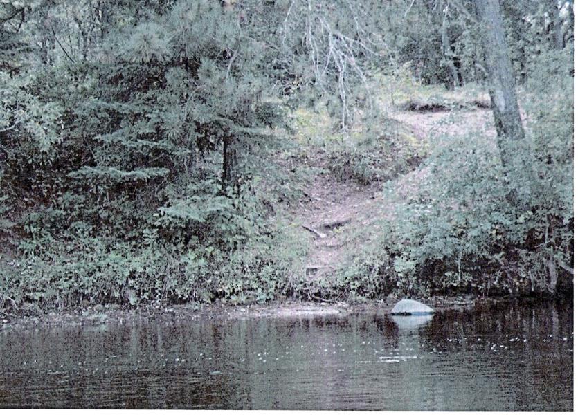
Bank Details
Which Bank? Left
Condition:Toe is stable; upper bank eroding
Erosion Trend:Increasing
Percent Veg. Cover: 51-100%
Bank Conditions
Stream Width:50 ft.
Stream Depth:2 ft.
Stream Current:Fast
Eroded Bank Length:30 ft.
Eroded Bank Height:12 ft.
Slope of Eroded Bank:3:1
Texture: Stratified
Cause(s) of Erosion
-Foot traffic
Recommended Treatment(s)
-Bank revegetation
-Tree revetments
General Information
Total Points
25
�