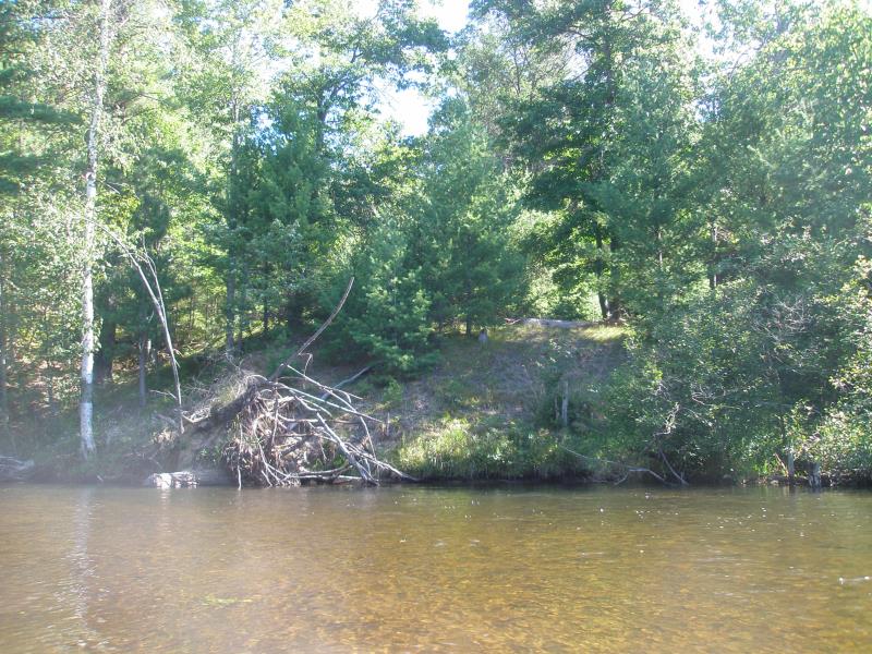
Stream Bank Erosion Site AUS-SB42
Total Severity: Minor
Total Points: 28
Information collected by:
Au Sable River Watershed,
South Branch Au Sable River
South Branch Twp,
Crawford County
GPS Coordinates: 44.62046
, -84.46023
T26N
R1W
Sec 29
Owned by State
Bank Details
Which Bank? Right
Condition:Both toe and upper bank eroding
Erosion Trend:Stable
Percent Veg. Cover: 51-100%
Bank Conditions
Stream Width:40 ft.
Stream Depth:2 ft.
Stream Current:Fast
Eroded Bank Length:50 ft.
Eroded Bank Height:6 ft.
Slope of Eroded Bank:2:1
Texture: Sand
Cause(s) of Erosion
-Bend in river
Other causes: Large white pine stump
Recommended Treatment(s)
-Bank revegetation
-Cover structure
-Tree revetments
General Information
Total Points
28
�