Stream Bank Erosion Site AUS-SB46
Total Severity: Minor
Total Points: 29
Information collected by:
Au Sable River Watershed,
South Branch Au Sable River
South Branch Twp,
Crawford County
GPS Coordinates: 44.62965
, -84.46998
T26N
R1W
Sec 20
Owned by Federal
Site Access:Private road 0.1 mi
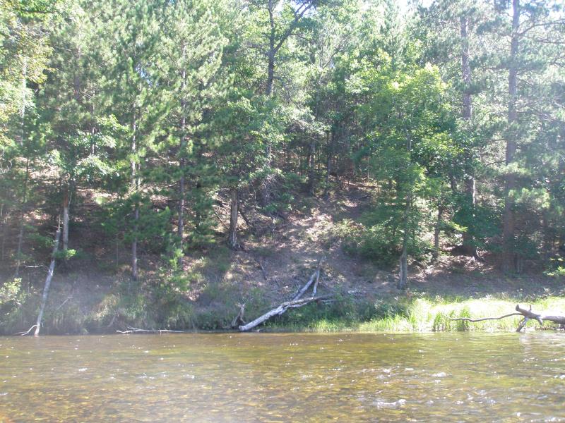
Bank Details
Which Bank? Right
Condition:Toe is stable; upper bank eroding
Erosion Trend:Stable
Percent Veg. Cover: 11-50%
Bank Conditions
Stream Width:50 ft.
Stream Depth:1 ft.
Stream Current:Fast
Eroded Bank Length:40 ft.
Eroded Bank Height:10 ft.
Slope of Eroded Bank:2:1
Texture: Clay
Cause(s) of Erosion
-Bend in river
Other causes: Steep slope lacks vegetation due to pine overstory
Recommended Treatment(s)
-Bank revegetation
-Tree revetments
General Information
Total Points
29
�