Stream Bank Erosion Site AUS-SB47
Total Severity: Minor
Total Points: 23
Information collected by:
Au Sable River Watershed,
South Branch Au Sable River
South Branch Twp,
Crawford County
GPS Coordinates: 44.6311
, -84.47173
T26N
R1W
Sec 20
Owned by Private
Site Access:0.2 mi private
Bank Details
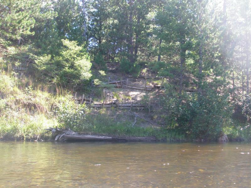
Which Bank? Right
Condition:Toe is stable; upper bank eroding
Erosion Trend:Stable
Percent Veg. Cover: 11-50%
Bank Conditions
Stream Width:40 ft.
Stream Depth:1 ft.
Stream Current:Slow
Eroded Bank Length:50 ft.
Eroded Bank Height:20 ft.
Slope of Eroded Bank:2:1
Texture: Sand
Cause(s) of Erosion
Other causes: Old gully once used for river access that was previously worked on
Recommended Treatment(s)
-Bank revegetation
-Tree revetments
General Information
Total Points
23
�