Stream Bank Erosion Site AUS-NB1
Total Severity: Minor
Total Points: 20
Information collected by:
Au Sable River Watershed,
North Branch Au Sable River
South Branch Twp,
Crawford County
GPS Coordinates: 44.67301
, -84.38953
T26N
R1W
Sec 1
Owned by Private
Site Access:0.1 mi
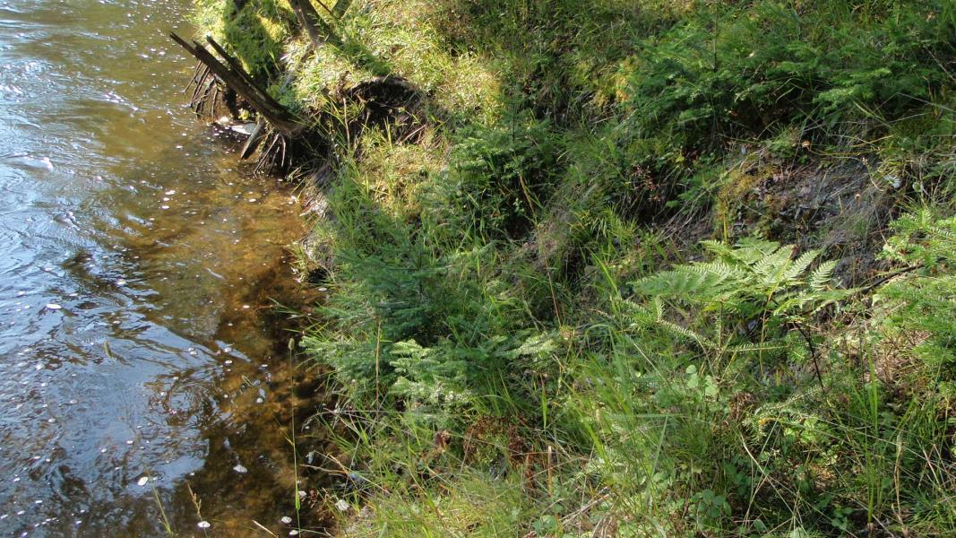
Bank Details
Which Bank? Right
Condition:Both toe and upper bank eroding
Erosion Trend:Stable
Percent Veg. Cover: 51-100%
Bank Conditions
Stream Width:45 ft.
Stream Depth:4 ft.
Stream Current:Fast
Eroded Bank Length:15 ft.
Eroded Bank Height:5 ft.
Slope of Eroded Bank:1:1
Texture: Clay
Cause(s) of Erosion
Other causes: Removal of vegetation allowed clay to slide
Recommended Treatment(s)
-Bank revegetation
-Cover structure
General Information
Total Points
20
�