Stream Bank Erosion Site AUS-MS002
Total Severity: Minor
Total Points: 27
Information collected by:
Au Sable River Watershed,
Au Sable River
Frederic Twp,
Crawford County
GPS Coordinates: 44.77848
, -84.76234
T28N
R4W
Sec 23
Owned by County
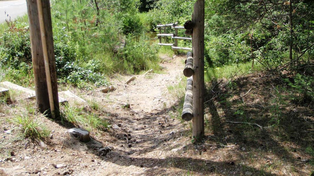
Site Access:At road
Bank Details
Which Bank? Left
Condition:Toe is stable; upper bank eroding
Erosion Trend:Increasing
Percent Veg. Cover: 11-50%
Bank Conditions
Stream Width:30 ft.
Stream Depth:1 ft.
Stream Current:Fast
Eroded Bank Length:4 ft.
Eroded Bank Height:12 ft.
Slope of Eroded Bank:3:1
Texture: Gravel
Cause(s) of Erosion
-Foot traffic
Other causes: Horse watering hole on horse trail
Recommended Treatment(s)
-Constructed access
General Information
BMPs Completed:
Fencing
Total Points
27
�