Stream Bank Erosion Site AUS-MS004
Total Severity: Minor
Total Points: 29
Information collected by:
Au Sable River Watershed,
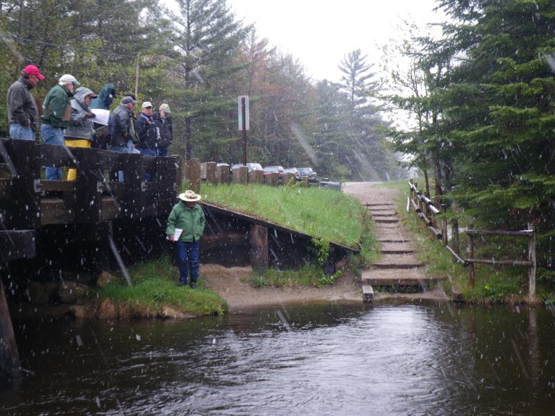
Au Sable River
Frederic Twp,
Crawford County
GPS Coordinates: 44.75715
, -84.7609
T27N
R4W
Sec 11
Owned by County
Site Access:At road
Bank Details
Which Bank? Left
Condition:Both toe and upper bank eroding
Erosion Trend:Increasing
Percent Veg. Cover: 0-10%
Bank Conditions
Stream Width:35 ft.
Stream Depth:1 ft.
Stream Current:Fast
Eroded Bank Length:10 ft.
Eroded Bank Height:3 ft.
Slope of Eroded Bank:2:1
Texture: Sand
Cause(s) of Erosion
-Gullying
-Foot traffic
Recommended Treatment(s)
General Information
Total Points
29
�