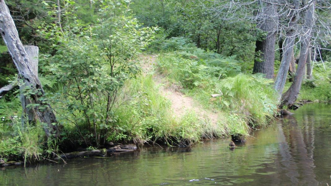
Stream Bank Erosion Site AUS-MS005
Total Severity: Minor
Total Points: 26
Information collected by:
Au Sable River Watershed,
Au Sable River
Frederic Twp,
Crawford County
GPS Coordinates: 44.72266
, -84.76536
T27N
R4W
Sec 23
Owned by State
Site Access:0.1 mi
Bank Details
Which Bank? Left
Condition:Both toe and upper bank eroding
Erosion Trend:Increasing
Percent Veg. Cover: 11-50%
Bank Conditions
Stream Width:40 ft.
Stream Depth:2 ft.
Stream Current:Slow
Eroded Bank Length:5 ft.
Eroded Bank Height:2 ft.
Slope of Eroded Bank:3:1
Texture: Loam
Cause(s) of Erosion
-Foot traffic
Recommended Treatment(s)
-Bank revegetation
General Information
BMPs Completed:
Fencing
Total Points
26
�