Stream Bank Erosion Site AUS-MS006
Total Severity: Minor
Total Points: 22
Information collected by:
Au Sable River Watershed,
Au Sable River
Frederic Twp,
Crawford County
GPS Coordinates: 44.71663
, -84.76234
T27N
R4W
Sec 23
Owned by State
Site Access:Abandon road
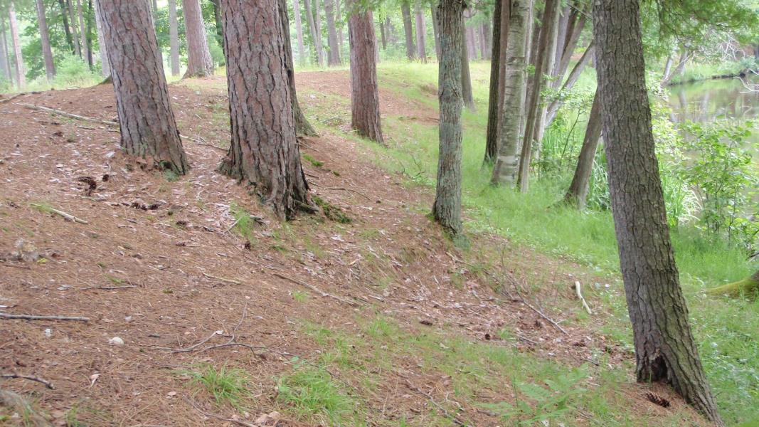
Bank Details
Which Bank? Left
Condition:Toe is stable; upper bank eroding
Erosion Trend:Stable
Percent Veg. Cover: 51-100%
Bank Conditions
Stream Width:40 ft.
Stream Depth:2 ft.
Stream Current:Slow
Eroded Bank Length:200 ft.
Eroded Bank Height:8 ft.
Slope of Eroded Bank:4:1 or flatter
Texture: Sand
Cause(s) of Erosion
-Obstructions in river
-Foot traffic
Recommended Treatment(s)
-Rock riprap
General Information
BMPs Completed:
Fencing
Total Points
22
�