Stream Bank Erosion Site AUS-MS007
Total Severity: Minor
Total Points: 29
Information collected by:
Au Sable River Watershed,
Au Sable River
Grayling,
Crawford County
GPS Coordinates: 44.68346
, -84.74683
T26N
R4W
Sec 1
Owned by State
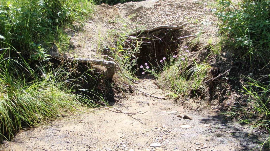
Site Access:Erosion site along road
Bank Details
Which Bank? Right
Condition:Toe is stable; upper bank eroding
Erosion Trend:Increasing
Percent Veg. Cover: 11-50%
Bank Conditions
Stream Width:30 ft.
Stream Depth:3 ft.
Stream Current:Fast
Eroded Bank Length:4 ft.
Eroded Bank Height:2 ft.
Slope of Eroded Bank:1:1
Texture: Sand
Cause(s) of Erosion
-Bend in river
Other causes: Horses appear to be using site as a watering hole
Recommended Treatment(s)
-Bank revegetation
-Tree revetments
General Information
Total Points
29
�