Stream Bank Erosion Site AUS-MS024
Total Severity: Minor
Total Points: 16
Information collected by:
Au Sable River Watershed,
Au Sable River
South Branch Twp,
Crawford County
GPS Coordinates: 44.667
, -84.38666
T26N
R1W
Sec 12
Owned by Federal
Site Access:Likely
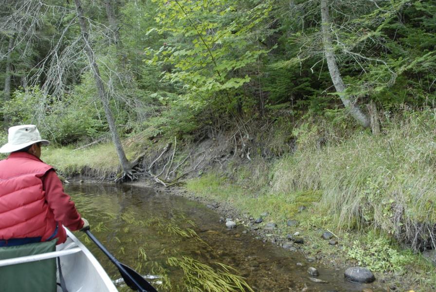
Bank Details
Which Bank? Right
Condition:Toe is stable; upper bank eroding
Erosion Trend:Stable
Percent Veg. Cover: 51-100%
Bank Conditions
Stream Width:35 ft.
Stream Depth:1 ft.
Stream Current:Fast
Eroded Bank Length:15 ft.
Eroded Bank Height:3 ft.
Slope of Eroded Bank:1:1
Texture: Clay
Cause(s) of Erosion
-Bend in river
Recommended Treatment(s)
-Cover structure
General Information
Total Points
16
�