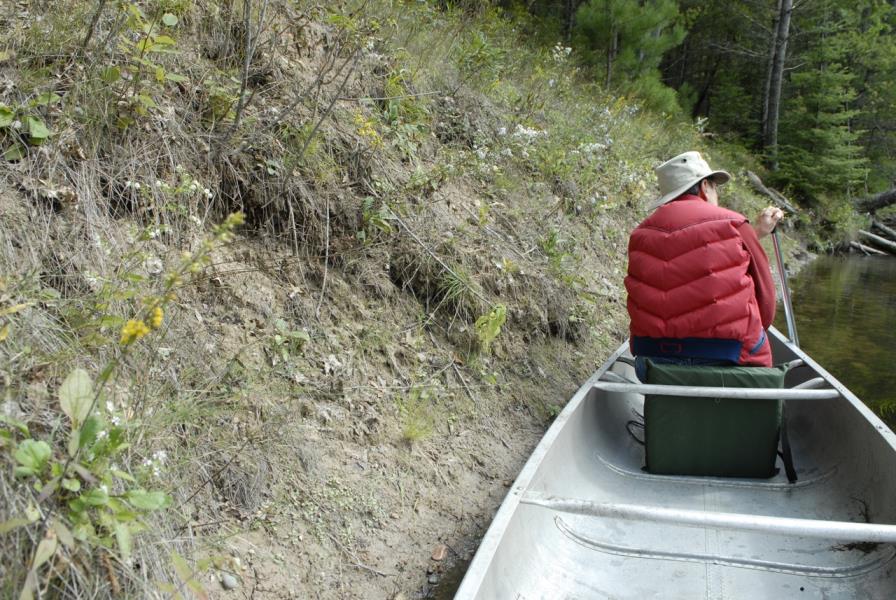
Stream Bank Erosion Site AUS-MS028
Total Severity: Moderate
Total Points: 30
Information collected by:
Au Sable River Watershed,
Au Sable River
South Branch Twp,
Crawford County
GPS Coordinates: 44.66816
, -84.38616
T26N
R1W
Sec 1, 1
Owned by Federal
Bank Details
Which Bank? Right
Condition:Both toe and upper bank eroding
Erosion Trend:Increasing
Percent Veg. Cover: 11-50%
Bank Conditions
Stream Width:50 ft.
Stream Depth:1.5 ft.
Stream Current:Fast
Eroded Bank Length:60 ft.
Eroded Bank Height:5 ft.
Slope of Eroded Bank:1:1
Texture: Clay
Cause(s) of Erosion
-Bend in river
Recommended Treatment(s)
-Cover structure
General Information
Total Points
30
�