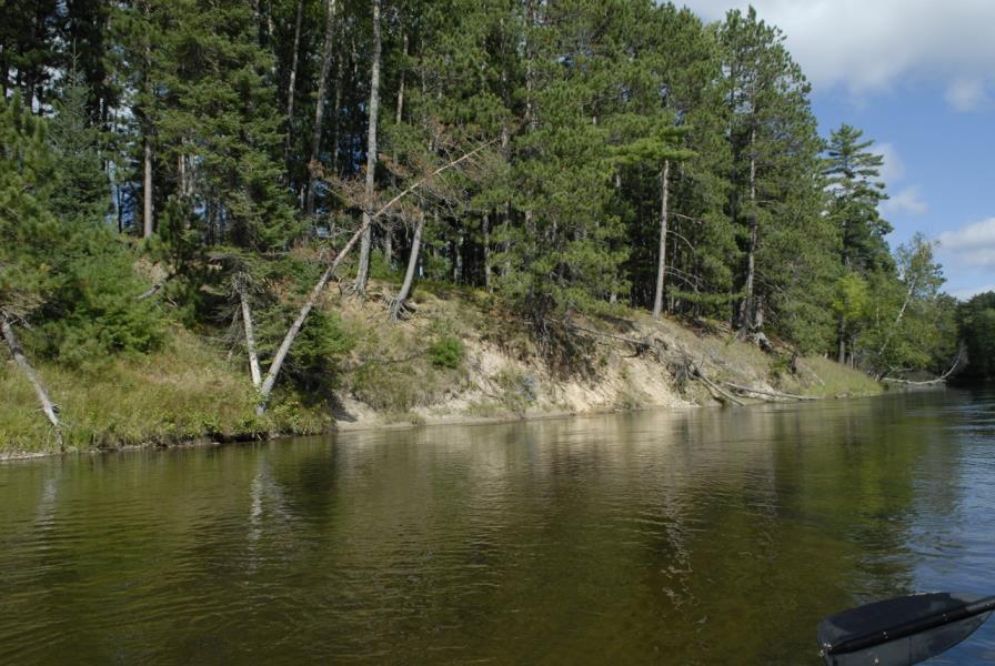
Stream Bank Erosion Site AUS-MS033
Total Severity: Moderate
Total Points: 32
Information collected by:
Au Sable River Watershed,
Au Sable River
Big Creek Twp,
Oscoda County
GPS Coordinates: 44.6645
, -84.34633
T26N
R1E
Sec 5
Owned by Private
Site Access:Likely
Bank Details
Which Bank? Left
Condition:Both toe and upper bank eroding
Erosion Trend:Increasing
Percent Veg. Cover: 11-50%
Bank Conditions
Stream Width:65 ft.
Stream Depth:3 ft.
Stream Current:Fast
Eroded Bank Length:75 ft.
Eroded Bank Height:5 ft.
Slope of Eroded Bank:1:1
Texture: Sand
Cause(s) of Erosion
-Bank seepage
Other causes: Clay bank calving
Recommended Treatment(s)
-Bank revegetation
-Tree revetments
General Information
Total Points
32
�