Stream Bank Erosion Site AUS-MS055
Total Severity: Minor
Total Points: 27
Information collected by:
Au Sable River Watershed,
Au Sable River
Mentor Twp,
Oscoda County
GPS Coordinates: 44.65746
, -84.08422
T26N
R3E
Sec 9
Owned by Federal
Site Access:50 ft
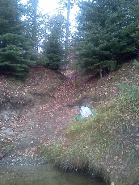
Bank Details
Which Bank? Left
Bank Aspect:South
Condition:Both toe and upper bank eroding
Erosion Trend:Stable
Percent Veg. Cover: 11-50%
Bank Conditions
Stream Width:250 ft.
Stream Depth:1 ft.
Stream Current:Slow
Eroded Bank Length:5 ft.
Eroded Bank Height:50 ft.
Slope of Eroded Bank:1:1
Texture: Sand
Cause(s) of Erosion
-Foot traffic
Recommended Treatment(s)
-Tree revetments
-Constructed access
General Information
Total Points
27
�