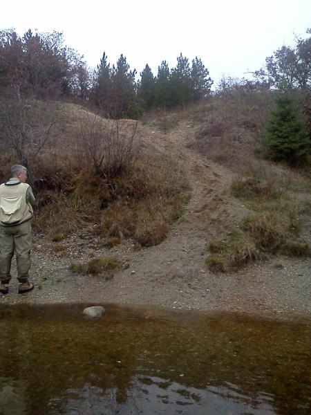
Stream Bank Erosion Site AUS-MS070
Total Severity: Moderate
Total Points: 33
Information collected by:
Au Sable River Watershed,
Au Sable River
Mitchell Twp,
Alcona County
GPS Coordinates: 44.63188
, -83.85987
T26N
R5E
Sec 20
Owned by Federal
Bank Details
Which Bank? Left
Condition:Both toe and upper bank eroding
Erosion Trend:Increasing
Percent Veg. Cover: 0-10%
Bank Conditions
Stream Width:50 ft.
Stream Depth:1 ft.
Stream Current:Fast
Eroded Bank Length:50 ft.
Eroded Bank Height:60 ft.
Slope of Eroded Bank:1:1
Texture: Sand
Cause(s) of Erosion
-Bend in river
-Bank seepage
Recommended Treatment(s)
-Bank revegetation
-Tree revetments
General Information
Total Points
33
�