Stream Bank Erosion Site AUS-MS072
Total Severity: Minor
Total Points: 19
Information collected by:
Au Sable River Watershed,
Au Sable River
Mentor Twp,
Oscoda County
GPS Coordinates: 44.65097
, -84.05264
T26N
R3E
Sec 11
Owned by Federal
Site Access:100 yd
Bank Details
Which Bank? Right
Bank Aspect:South side of river
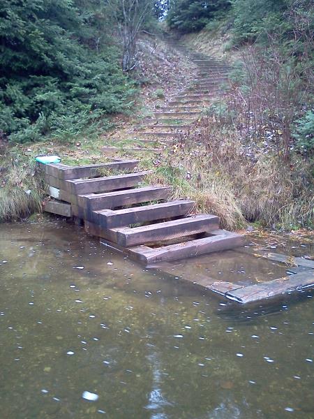
Condition:Toe is undercutting
Erosion Trend:Decreasing (annuals growing)
Percent Veg. Cover: 51-100%
Bank Conditions
Stream Width:40 ft.
Stream Depth:3 ft.
Stream Current:Slow
Eroded Bank Length:10 ft.
Eroded Bank Height:4 ft.
Slope of Eroded Bank:1:1
Texture: Sand
Cause(s) of Erosion
-Obstructions in river
-Bend in river
Other causes: Eroding around base of steps
Recommended Treatment(s)
General Information
Total Points
19
�