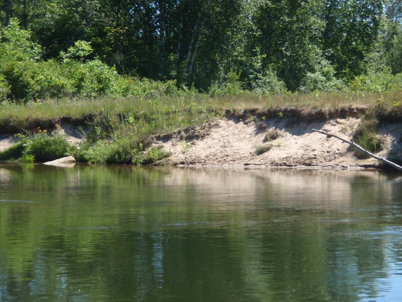
Stream Bank Erosion Site AUS-MS156
Total Severity: Moderate
Total Points: 32
Information collected by:
Au Sable River Watershed,
Au Sable River
Oscoda Twp,
Iosco County
GPS Coordinates: 44.43098
, -83.3531
T24N
R9E
Sec 33
Owned by Private
Bank Details
Which Bank? Right
Condition:Both toe and upper bank eroding
Erosion Trend:Increasing
Percent Veg. Cover: 11-50%
Bank Conditions
Stream Width:200 ft.
Stream Depth:3 ft.
Stream Current:Slow
Eroded Bank Length:30 ft.
Eroded Bank Height:6 ft.
Slope of Eroded Bank:2:1
Texture: Sand
Cause(s) of Erosion
-Foot traffic
Other causes: Boat stop and wave action during high water
Recommended Treatment(s)
-Bank revegetation
-Cover structure
-Tree revetments
General Information
Total Points
32
�