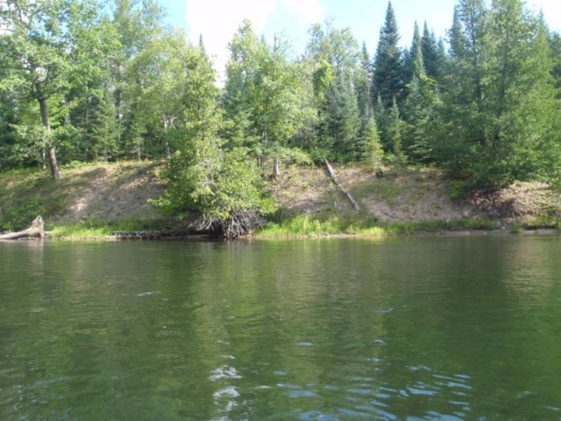
Stream Bank Erosion Site AUS-MS075
Total Severity: Minor
Total Points: 28
Information collected by:
Au Sable River Watershed,
Au Sable River
Curtis Twp,
Alcona County
GPS Coordinates: 44.54578
, -83.79246
T25N
R5E
Sec 23
Owned by Federal
Bank Details
Which Bank? Left
Condition:Both toe and upper bank eroding
Erosion Trend:Stable
Percent Veg. Cover: 51-100%
Bank Conditions
Stream Width:150 ft.
Stream Depth:3 ft.
Stream Current:Slow
Eroded Bank Length:120 ft.
Eroded Bank Height:15 ft.
Slope of Eroded Bank:1:1
Texture: Clay
Cause(s) of Erosion
-Bend in river
-Bank seepage
Recommended Treatment(s)
General Information
Total Points
28
�