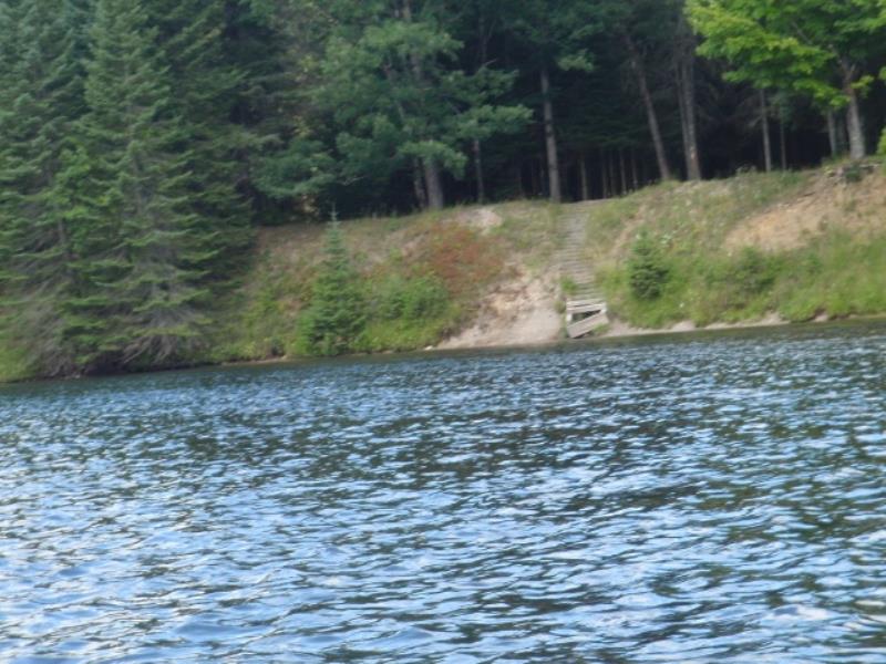
Stream Bank Erosion Site AUS-MS077
Total Severity: Moderate
Total Points: 30
Information collected by:
Au Sable River Watershed,
Au Sable River
Curtis Twp,
Alcona County
GPS Coordinates: 44.53766
, -83.80056
T25N
R5E
Sec 26
Owned by Federal
Site Access:Unsure
Bank Details
Which Bank? Right
Condition:Both toe and upper bank eroding
Erosion Trend:Increasing
Percent Veg. Cover: 11-50%
Bank Conditions
Stream Width:150 ft.
Stream Depth:3 ft.
Stream Current:Fast
Eroded Bank Length:15 ft.
Eroded Bank Height:15 ft.
Slope of Eroded Bank:2:1
Texture: Clay
Cause(s) of Erosion
-Bend in river
Recommended Treatment(s)
General Information
Total Points
30
�