Stream Bank Erosion Site AUS-MS080
Total Severity: Minor
Total Points: 25
Information collected by:
Au Sable River Watershed,
Au Sable River
Plainfield Twp,
Iosco County
GPS Coordinates: 44.50383
, -83.79857
T24N
R5E
Sec 2
Owned by Federal
Site Access:100 yd to parking area
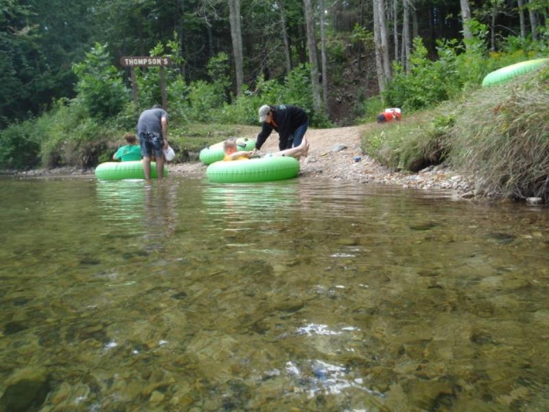
Bank Details
Which Bank? Right
Condition:Both toe and upper bank eroding
Erosion Trend:Increasing
Percent Veg. Cover: 0-10%
Bank Conditions
Stream Width:150 ft.
Stream Depth:2 ft.
Stream Current:Slow
Eroded Bank Length:10 ft.
Eroded Bank Height:3 ft.
Slope of Eroded Bank:3:1
Texture: Clay
Cause(s) of Erosion
-Foot traffic
Recommended Treatment(s)
General Information
Total Points
25
�