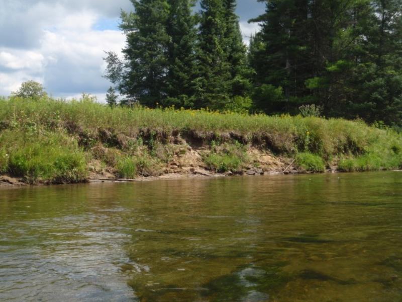
Stream Bank Erosion Site AUS-MS081
Total Severity: Moderate
Total Points: 32
Information collected by:
Au Sable River Watershed,
Au Sable River
Plainfield Twp,
Iosco County
GPS Coordinates: 44.48732
, -83.78133
T24N
R5E
Sec 12
Owned by Federal
Bank Details
Which Bank? Left
Condition:Both toe and upper bank eroding
Erosion Trend:Increasing
Percent Veg. Cover: 11-50%
Bank Conditions
Stream Width:200 ft.
Stream Depth:2 ft.
Stream Current:Fast
Eroded Bank Length:60 ft.
Eroded Bank Height:3 ft.
Slope of Eroded Bank:1:1
Texture: Loam
Cause(s) of Erosion
Other causes: Current undercutting bank
Recommended Treatment(s)
General Information
Total Points
32
�