Stream Bank Erosion Site AUS-MS164
Total Severity: Minor
Total Points: 20
Information collected by:
Au Sable River Watershed,
Au Sable River
Big Creek Twp,
Oscoda County
GPS Coordinates: 44.671014
, -84.206738
T26N
R2E
Sec 4
Owned by State
Site Access:100 ft
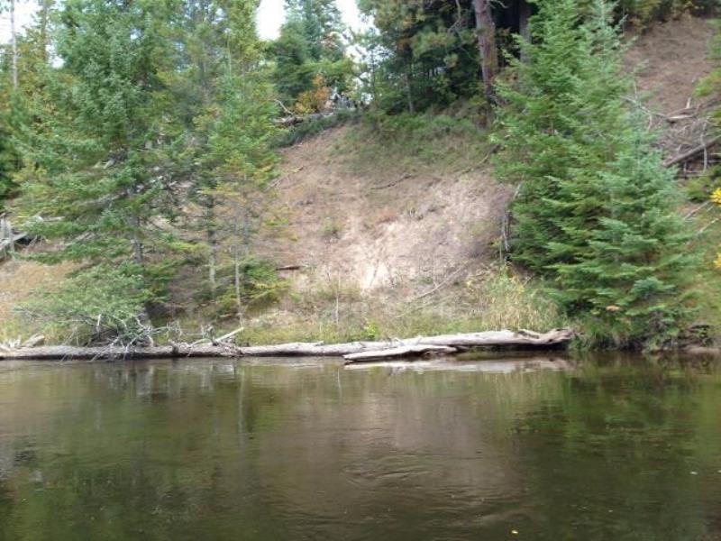
Bank Details
Which Bank? Left
Condition:Toe is stable; upper bank eroding
Erosion Trend:Stable
Percent Veg. Cover: 51-100%
Bank Conditions
Stream Width:60 ft.
Stream Depth:3 ft.
Stream Current:Slow
Eroded Bank Length:50 ft.
Eroded Bank Height:8 ft.
Slope of Eroded Bank:1:1
Texture: Clay
Cause(s) of Erosion
-Bend in river
Recommended Treatment(s)
-Bank revegetation
-Cover structure
-Tree revetments
General Information
Total Points
20
�