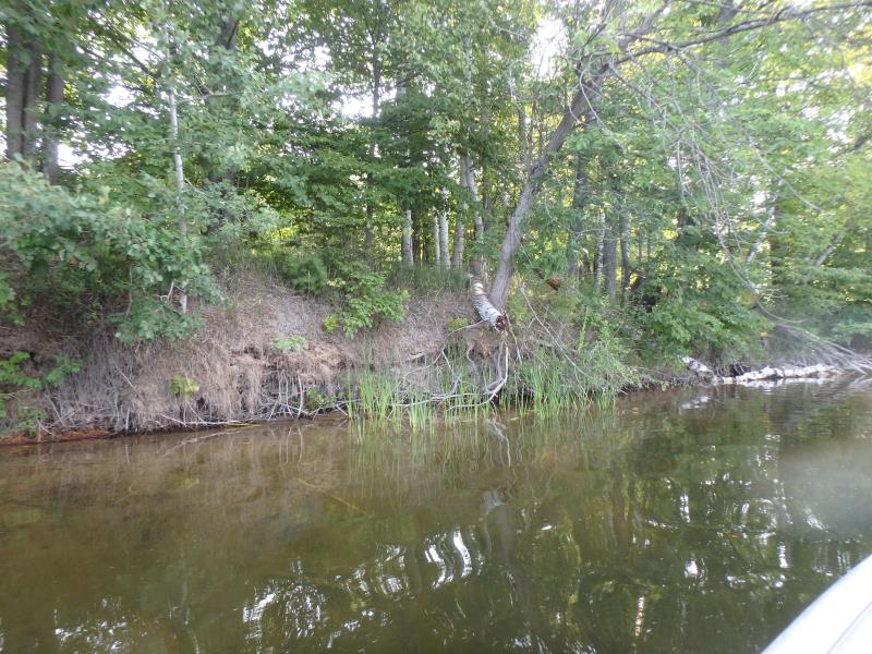
Stream Bank Erosion Site NS-12
Total Severity: Moderate
Total Points: 31
Information collected by:
Thunder Bay River Watershed,
Thunder Bay River
Alpena Twp,
Alpena County
GPS Coordinates: 45.0774
, -83.48269
T31N
R8E
Sec 21
Owned by Other
Site Access:Yes
Bank Details
Which Bank? Left
Bank Aspect:SW
Condition:Toe is undercutting
Erosion Trend:N/A
Percent Veg. Cover: 0-10%
Bank Conditions
Stream Width:300 ft.
Stream Depth:1 ft.
Stream Current:Slow
Eroded Bank Length:60 ft.
Eroded Bank Height:7 ft.
Slope of Eroded Bank:2H:1V
Texture: Sand over clay
Cause(s) of Erosion
-Bend in river
Recommended Treatment(s)
General Information
Project Details
Year Inventory Completed: 2018
Total Points
31
�