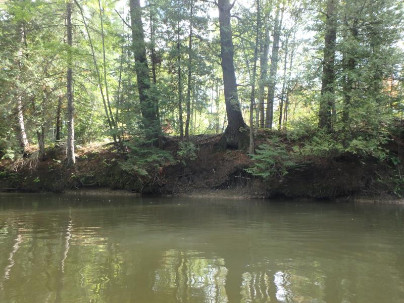
Stream Bank Erosion Site HE-04
Total Severity: Moderate
Total Points: 30
Information collected by:
Thunder Bay River Watershed,
Thunder Bay River
Green Twp,
Alpena County
GPS Coordinates: 45.067417
, -83.867889
T31N
R5E
Sec 19
Owned by Private
Site Access:No
Bank Details
Which Bank? Left
Bank Aspect:SE
Condition:Toe and upper slope are eroding
Percent Veg. Cover: 51-100%
Bank Conditions
Stream Width:30 ft.
Stream Depth:4 ft.
Stream Current:Fast
Eroded Bank Length:250 ft.
Eroded Bank Height:20 ft.
Slope of Eroded Bank:2H:1V
Texture: Clay
Cause(s) of Erosion
-Bend in river
Recommended Treatment(s)
General Information
Project Details
Year Inventory Completed: 2018
Total Points
30
�