Stream Bank Erosion Site HE-12
Total Severity: Minor
Total Points: 26
Information collected by:
Thunder Bay River Watershed,
Thunder Bay River
Green Twp,
Alpena County
GPS Coordinates: 45.06604
, -83.87599
T31N
R5E
Sec 19
Owned by Private
Site Access:No
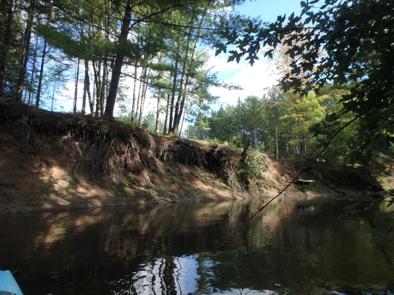
Bank Details
Which Bank? Right
Bank Aspect:NW
Condition:Toe is stable; Upper bank eroding
Erosion Trend:Decreasing
Percent Veg. Cover: 51-100%
Bank Conditions
Stream Width:25 ft.
Stream Depth:3 ft.
Stream Current:Fast
Eroded Bank Length:300 ft.
Eroded Bank Height:20 ft.
Slope of Eroded Bank:Vertical to 1H:1V
Texture: Stratified
Cause(s) of Erosion
-Bend in river
Recommended Treatment(s)
General Information
Project Details
Year Inventory Completed: 2018
Total Points
26
�