Stream Bank Erosion Site BGMN-001
Total Severity: Minor
Total Points: 25
Information collected by:
Big Manistee River Watershed,
Liberty Twp,
Wexford County
GPS Coordinates: 44.48502
, -85.41045
T24N
R9W
Sec 9
Owned by State
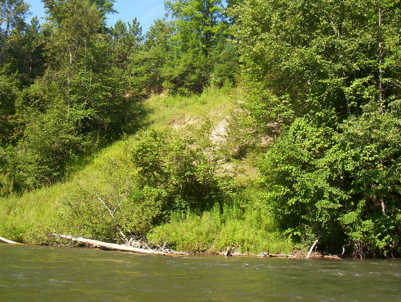
Bank Details
Which Bank? Left
Bank Aspect:NE
Condition:Toe is stable; upper bank eroding
Erosion Trend:Stable
Percent Veg. Cover: 50-100%
Bank Conditions
Stream Width:60 ft.
Stream Depth:2 ft.
Stream Current:Fast
Eroded Bank Length:100 ft.
Eroded Bank Height:70 ft.
Slope of Eroded Bank:3:1
Texture: Sand
Cause(s) of Erosion
-Bend in river
Recommended Treatment(s)
Other Treatments:none
General Information
Total Points
25
�