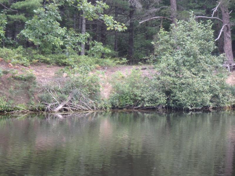
Stream Bank Erosion Site W-12
Total Severity: Moderate
Total Points: 30
Information collected by:
Thunder Bay River Watershed,
Thunder Bay River
Maple Ridge Twp,
Alpena County
GPS Coordinates: 45.08142
, -83.57438
T31N
R7E
Sec 10
Site Access:Yes
Bank Details
Which Bank? Right
Bank Aspect:S
Condition:Toe is undercutting
Erosion Trend:Increasing
Percent Veg. Cover: 0-10%
Bank Conditions
Stream Depth:3.5 ft.
Stream Current:Slow
Eroded Bank Length:`120 ft.
Eroded Bank Height:6-7 ft.
Slope of Eroded Bank:2H:1V
Texture: Sand
Cause(s) of Erosion
-Foot traffic
Recommended Treatment(s)
General Information
Project Details
Year Inventory Completed: 2018
Total Points
30
�