Stream Bank Erosion Site BGMN-003
Total Severity: Moderate
Total Points: 34
Information collected by:
Big Manistee River Watershed,
Liberty Twp,
Wexford County
GPS Coordinates: 44.4905
, -85.40877
T24N
R9W
Sec 9
Owned by State
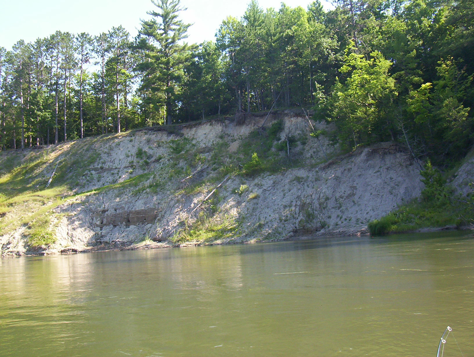
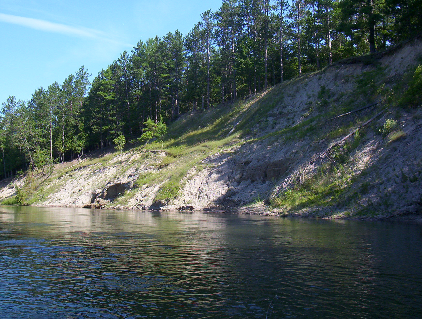
Bank Details
Which Bank? Right
Bank Aspect:SE
Condition:Both toe and upper bank eroding
Erosion Trend:Increasing
Percent Veg. Cover: 0-10%
Bank Conditions
Stream Width:50 ft.
Stream Depth:8 ft.
Stream Current:Slow
Eroded Bank Length:300 ft.
Eroded Bank Height:50 ft.
Slope of Eroded Bank:3:1
Texture: Clay
Cause(s) of Erosion
-Bank seepage
Recommended Treatment(s)
Other Treatments:none
General Information
Total Points
34
�