Stream Bank Erosion Site BGMN-003
Total Severity: Minor
Total Points: 0
Information collected by:
Big Manistee River Watershed,
Liberty Twp,
Wexford County
GPS Coordinates: 44.48878
, -85.41904
T24N
R9W
Sec 9
Owned by State
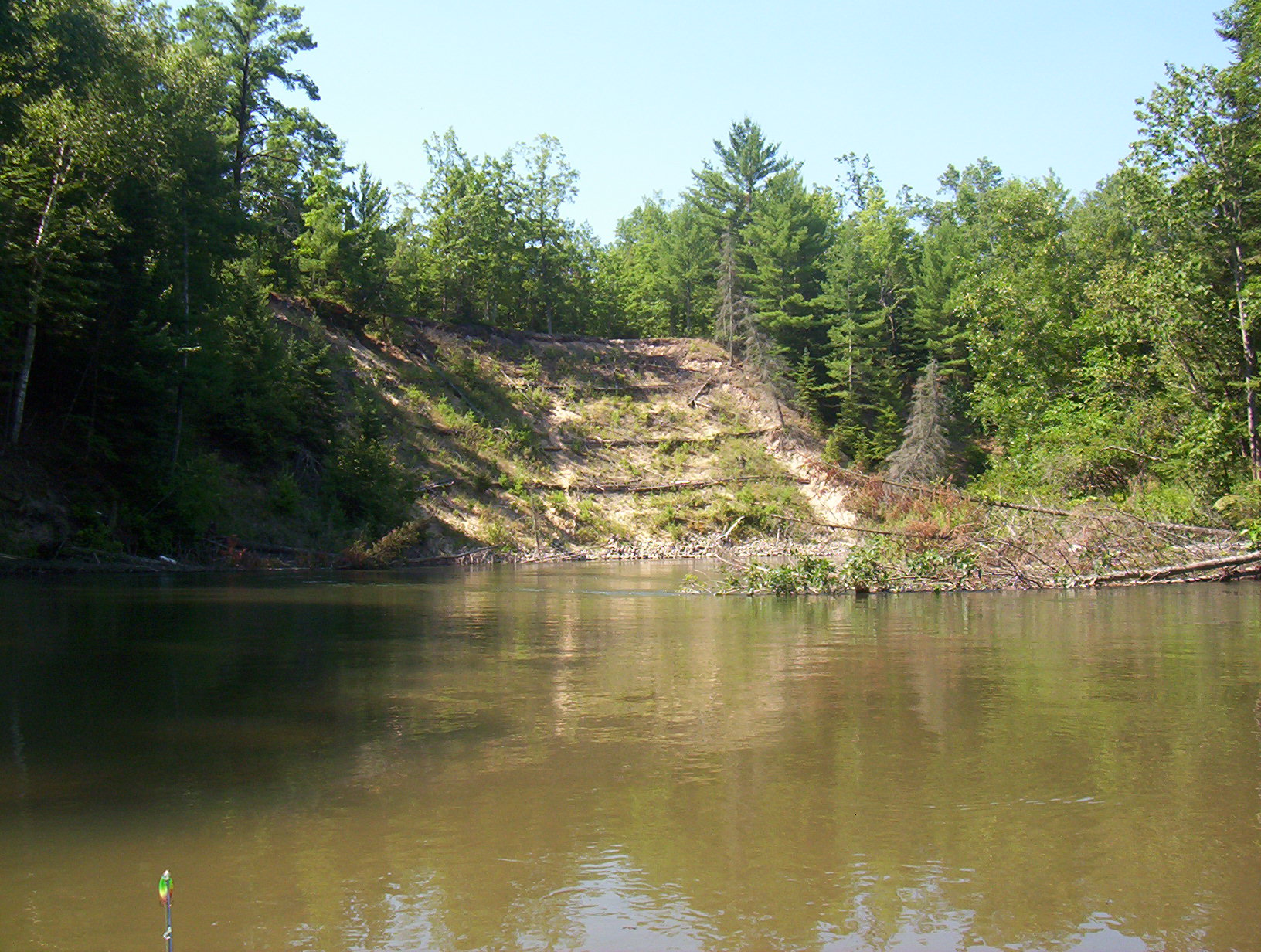
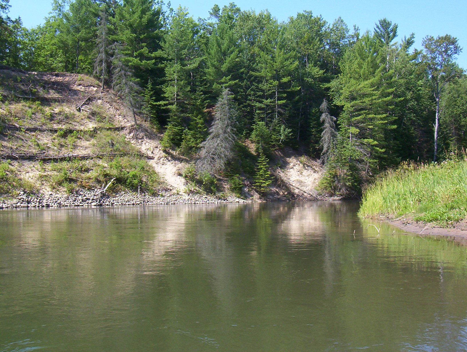
Bank Details
Which Bank? Left
Bank Aspect:N
Condition:Both toe and upper bank eroding
Erosion Trend:Increasing
Percent Veg. Cover: 10-50%
Bank Conditions
Stream Width:50 ft.
Stream Depth:5 ft.
Stream Current:Slow
Eroded Bank Length:30 ft.
Eroded Bank Height:15 ft.
Slope of Eroded Bank:3:1
Texture: Sand
Cause(s) of Erosion
-Bank seepage
Recommended Treatment(s)
-Cover structure
-Tree revetments
General Information
previous stabilized bank, needs additional 30 ft o
Total Points
0
�